Georgia: 3-day hike to Black Rock Lake
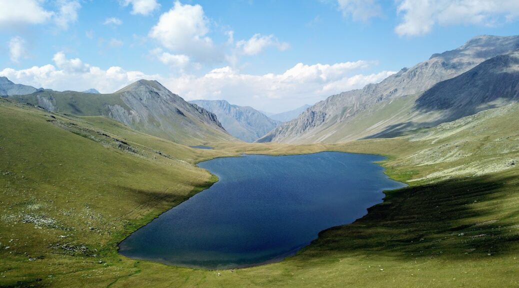
Challenging marathon-long 3-day trek through Lagodekhi Natural Reserve will reward you with incredible views, pure nature and beautiful crystal clear Black Rock Lake bordering Georgia and Russia.
43kms | 2100m ups and downs | 61,355 steps
(all distance numbers are from Anna’s Garmin Vivoactive watch)
A little disclaimer
This article is capturing our way up and down during this hike, check this well-written trail description if you’re looking for a more technical emotionless guide.
We do like to do things and trips out of our comfort zone. But this trek was a different comfort galaxy. Just imagine – 2 aircon spoiled Dubaians who walk a maximum of 3,000 steps per day (and that’s just because my desk in our office is so far from the kitchen) suddenly walk 10x more and camp at over 2000m above the sea. Yes, we do camp quite often in UAE or Oman – however always with a car. Carrying everything you need for 3 days in your backpack, planning how much water to take so it is not too heavy while making sure it lasts until the next water source – that is a whole different game. Let’s face it: this was a hard one.
Logistics
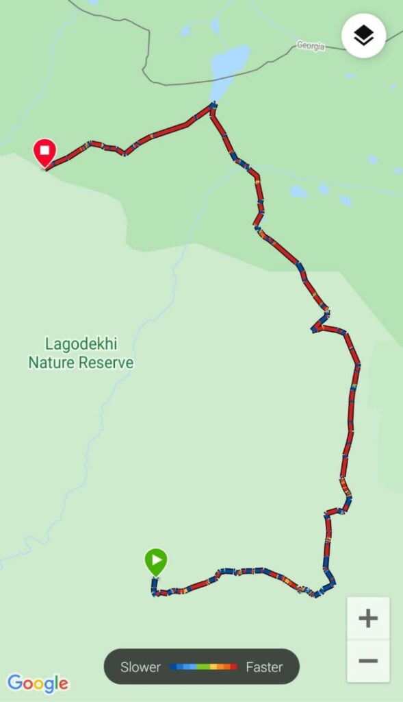
The trek is split into 3 days – the first super tough day of climbing up, the second day is easier and most rewarding with scenery and picnic by the lake and the third day is a long steep descent. While you could technically walk in both directions, most people do the trek anti-clockwise. If you’d go the other way around, you would be climbing very steep parts on Day 1 and probably having some issues with Border Patrol near the Black Rock Lake. Yes, Border Patrol – since this trek gets right at the border between Georgia and Russia, you will need your passports with you.
Where did we sleep
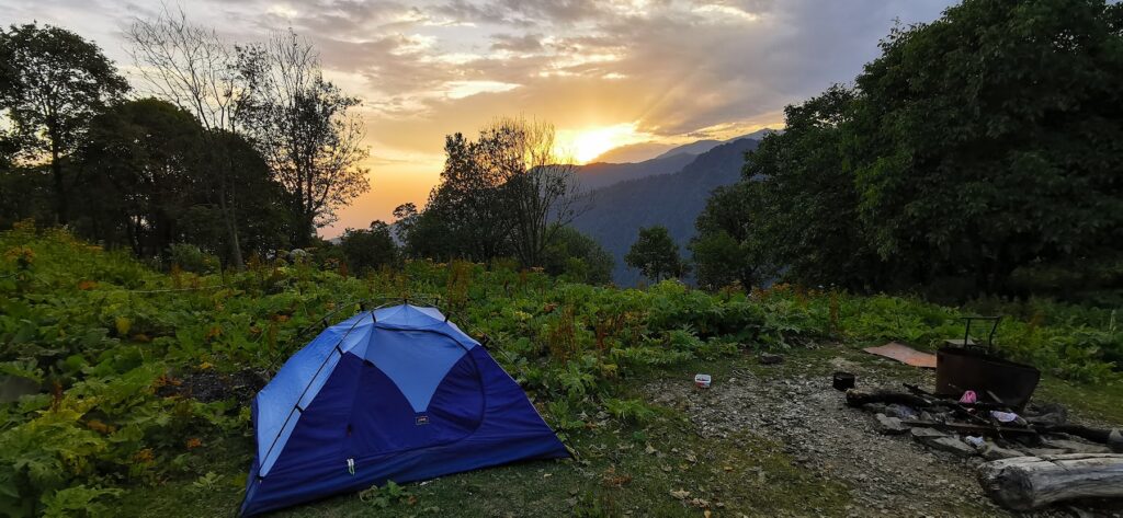
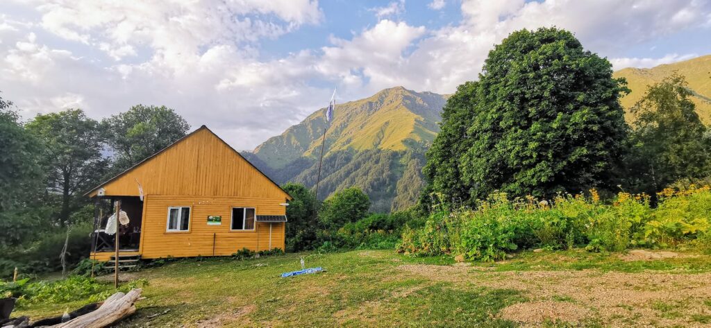
There are two shelters on the way where you spend the night. Both shelters have 3-4 rooms with 3-4 bunk beds and mattresses so you can either sleep there (you will need blankets, a sleeping bag, and a lot of hand-sanitizer) or bring the tent and camp near the shelter. It is not a good idea (and not allowed as well) to camp anywhere else since both shelters are in very logical locations near the water sources. Also, it provides a good cover in case the weather gets ugly (which can happen anytime in the mountains).
We brought our tent with us and I’m glad we did – especially since Meteo shelter is not sparkling clean. In both huts, rooms have 3 or 4 bunk beds, which means if you are traveling alone or as a couple, you don’t know who you’re going to share the room with (and as we found out on the first night – unwanted visitors can come anytime).
 What did we eat and drink
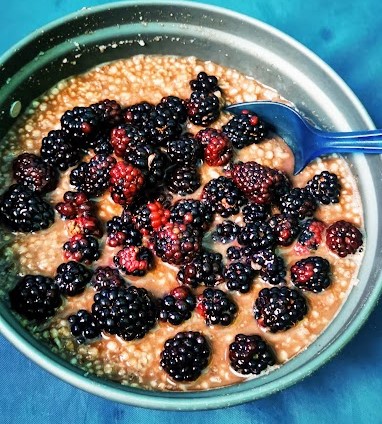
There is no place to get food (except delicious blackberries) so you must carry everything you need for 3 days with you. Our menu was a mix of instant noodles, bread, sausages, ham, and vegetables (cucumbers and peppers were not heavy and made the monotonous dry meals more interesting). For breakfast we took instant oatmeal with blackberries we picked on the way up – all cooked on a little gas stove which is way faster and more comfortable than starting a campfire to make tea. Also, important were all the small snacks on the go – protein and nut bars, chocolate, apples, etc. There is at least one source of fresh water along the route each day. We also used vitamin tablets and Pokari Sweat powder to make the cocktail menu more interesting.
Day 1 – Climb from Lagodekhi to Meteo Shelter
12km in 8 hours, 1,437m elevation gain (loss 199m) to camp near Meteo shelter in 2000m.
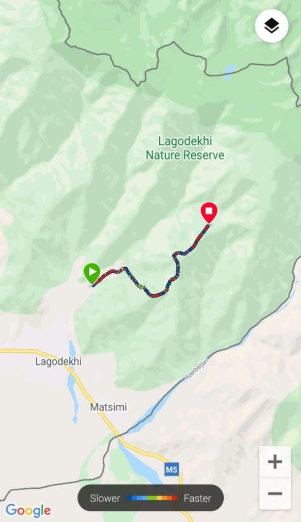
The trek starts in Lagodekhi Nature Reserve Information Center. The night before, we slept in the beautiful Barbaneus Winery which was around 2 hours drive away including some grocery shopping in a nearby village. We arrived around 10:45 AM (now, I know that starting 1hr earlier would help) and it took us about 30 minutes to check-in at the info center. They give a very thorough brief about the trek, weather conditions, and other tips. They can also provide sleeping bags, tents, and some other equipment to rent and if you are not fancy walking this on your own, you can rent a horse tour – which is honestly the main thing I hated about this hike (you’ll learn why shortly). You will pay the fee for using the campsites – 5 GEL per person/night if you are staying in the tent or 20 GEL if you prefer the shelter.
The hike started with an easy road leading to the river which was the last chance to get the fresh water for the day. We had 5 liters and we would have used one more bottle if we had it.
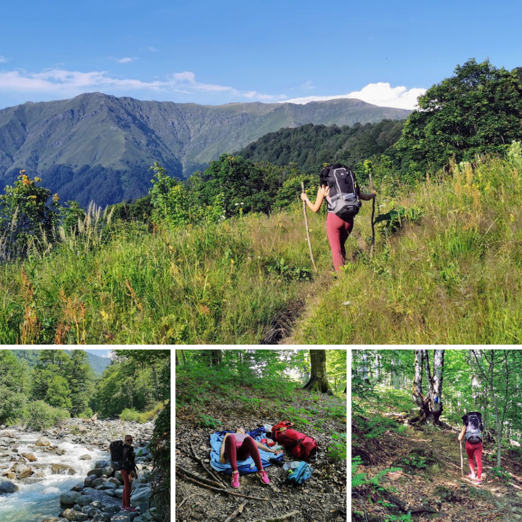
After crossing the river, the fun started. Most of the day was through deep forest, just last 2 km were through the grass with beautiful views over the mountains where we could see how far / high we got. We arrived at the camp just before sunset, got fresh water, had a quick dinner, and fell asleep. It had looked like a nice night until a group of Georgian horse tourists arrived and decided to have a BBQ party 2m from our tent. Luckily a storm came to send them inside the shelter so they at least unleashed their horses so they can graze around our tent.
Listening all night to horse’s steps, chewing and farting all night is one of those moments you wonder Why the heck didn’t I stay home (and how many meatballs can Ikea make from one horse)…
Day 2 – Reward and active recovery day
15km in 8 hours, elevation gain 1,288m / loss 526m, camp at Demidov’s Hut in 2650m
Four hours of intermittent sleep is not exactly what you need after that tough first day but we wanted to leave the camp before the group woke up. Quick breakfast and we are on the way again. The second day can be split into 3 parts:
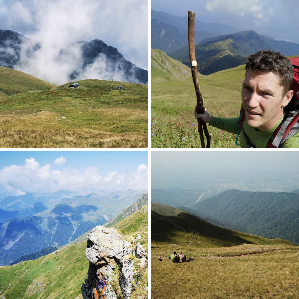
First 6km of continuous ascend got us on top of the mountains around us. Very quickly we got above a tree line, luckily it was less hot then the previous day. We were already sunburned so we happily welcomed every cloud that was covering the sun. We tried to be smarter and make more breaks. All the viewpoints along the route made a good reason for that. After 2.5km, there was a spring to refill the water and also another chance to see Azerbaijan. The next 3-4 kms are steep but with amazing views. Every few hundreds of meters I had to stop to take a picture of the valley below or mountains around us.
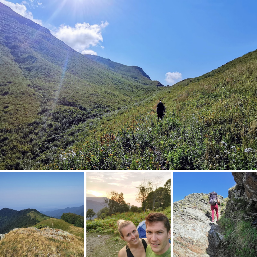
Another 6km were fairly flat with easy ups and downs. That’s when our mood started to get better and we really got to enjoy the nature around us. After crossing another spring (around 7th kilometer) we had to take a small detour to the left to the border patrol tent to show them our passports and get a permit to continue. Till day I don’t really understand the point of this procedure but each country has its own bureaucracy. In Georgia, it is in the form of 3 nice guys writing our passport details in their big logbook (by the way we were 149th and 150th this year).
From there it is about 1 hour to reach a small valley with wetlands and ruins of old shelter which will suggest that you are getting closer to the lake. It will appear after another 30 mins on the right side.
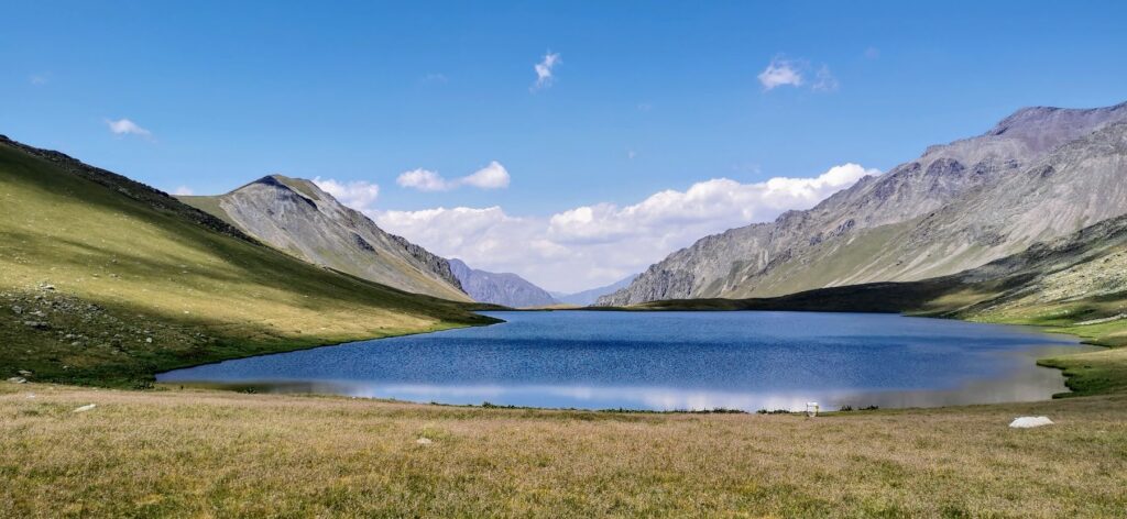
We were lucky to be alone by the lake, so we decided to picnic for a while, finally have lunch and some of us even took a nap. The lake itself is half Georgian and half Russian and they say swimming is not recommended. For me personally, only stepping into that freezing water to wash my feet was an act of bravery.
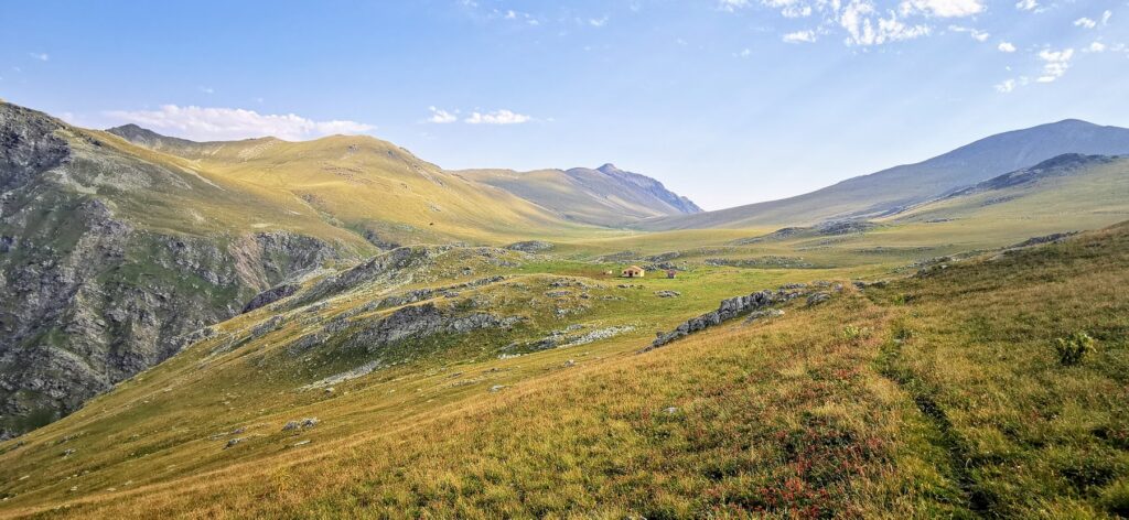
The last 3km were fairly easy. First we were refreshed, happy that we found the lake and also we knew the way to the camp is short and leads down, not up! After 1 km we started descending to a huge valley. The path soon turned left and we were soon able to see Demidov’s hut. We refilled our bottles from one of the springs near the camp and made ourselves home. Demidov’s hut is way nicer than Meteo – first the location has amazing views, is flatter and more spacious but mainly it is cleaner and less destroyed – which I firmly believe is because most horse tourist groups don’t make it here. They usually go from Meteo to the lake and back.
We made ourselves a nice dinner and enjoyed one of the most magical sunsets I’ve ever seen. The scenery we saw during the day, abandoned mountain lake, and this absolutely calm place made the way here worth it.
Day 3 – Get yourself down
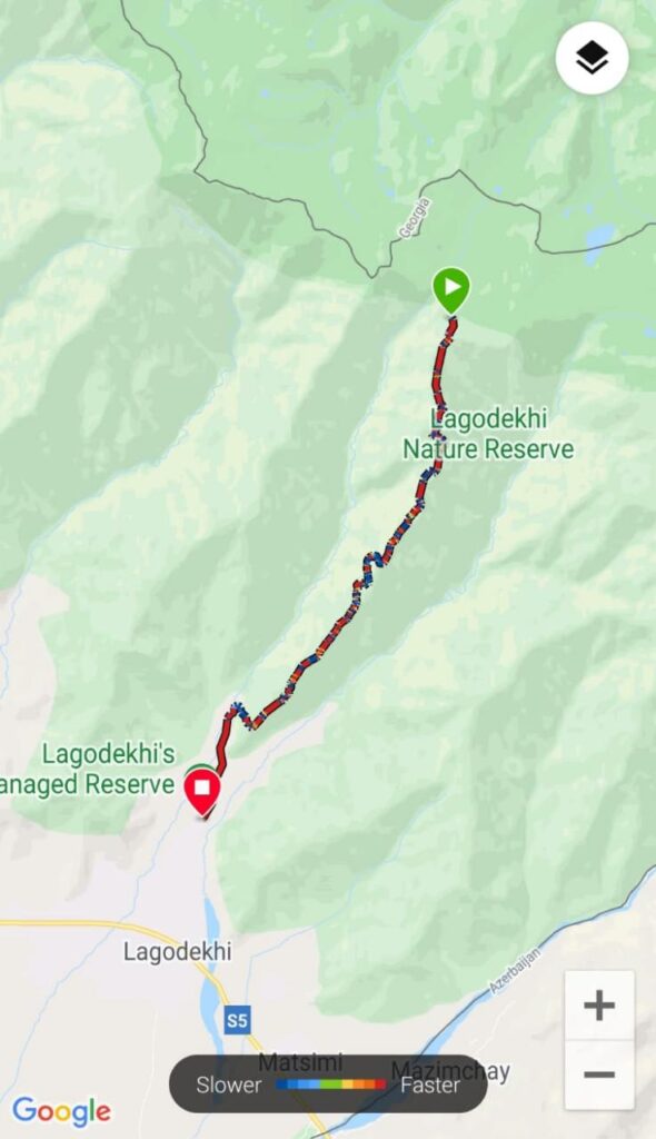
16.16km in 8 hours, elevation loss 2,081m (gain 174m)
The second night we slept like babies. There was something I haven’t experienced for a long long time – absolute silence. In the morning we were enjoying the quiet sunrise and then we got back on our way. The plan for the third day sounded simple: walk all the way down.
The path starts with 2-3km of ups and downs before the steep descent starts. We walked through high grass until we reached the forest again. On the way down we really appreciated the wooden walking sticks we picked up during the first day – it would be way harder and more twisted-ankle-likely without them.
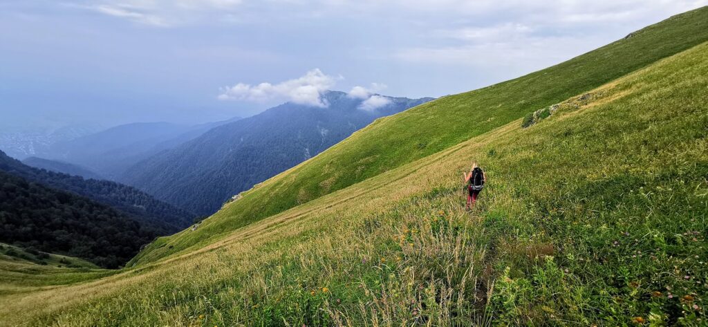
Some parts were really steep and we understood why they don’t recommend taking this path on the way up. The first half of the descent felt like taking ages. We had to stop every now and then and it seemed like it would take forever to get down. But then at around 12km we started to hear the river we were trying to reach and it became our light at the end of this forest tunnel. After passing several dead-tree valleys we reached the paved path where it merges with the other hikes and we finally made it to the river. After refreshing there and refilling our bottles, it was only about 30 mins to reach the end of the hike.
When we spotted the parking loft we felt like we just finished a marathon run – and technically we did. It was a combination of relief, tiredness but also a sense of achievement. We didn’t expect this hike to be that challenging, at some points really exhausting but on the other hand, it took us to places not many people get to see – and that’s what we love.

I love the airport buzz, planes and most of all – the feeling when you discover or experience something new. Together with Anna, we launched our gift voucher platform Ithara.ae. Photos are usually taken with Canon EOS 4000D, my Huawei Honor phone and DJI Mavic Pro.
